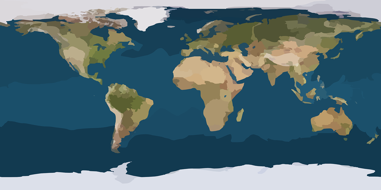
I’m not sure how long I’ve enjoyed maps and globes, but there is something about them that draws me in. I’ve collected maps for decades, and though they are mostly National Geographic maps purchased for ten cents at resale shops, there’s something about them that I cannot get enough of! I would buy the NatGeo magazine, keep the map and return the words and pictures so it could be resold – sans map!
My imagination of a place is often satisfied by an old fashioned paper map!
Back in the day of “office IT work” I would hang a map on my office/cubicle wall, and then gaze at it from a distance, or even follow contours up close, and imagine what the planet was like from that location.
When I was 16, my gifted Zondervan Study Bible had the maps of the Apostle Paul’s journey’s with overlays for each of his trips. It was a fascinating way to look at where he went, how he went, and what he accomplished along the way.
Early this morning, a headline grabbed my attention as it talked about a city on the other coast, and it used their “latitude” along with the word North to indicate their approximate location. [Source] They did not reference “longitude” but perhaps they didn’t think it was smart and sexy enough to use the entire number: 42.886448 -78.878372 I mean, did you not know that this was Buffalo, NY? Come on! Are you kidding me?
Of course, this prompted me to think about how we identify ourselves based on location, location, location. I was born at 29.732080 -94.967819 (Baytown, TX) and I reside at 46.855011 -122.598473 (Yelm, WA), but thoroughly enjoyed living at 61.157320 -149.903480 (Anchorage, AK). There’s something calming about that first number climbing higher up the scale, and that second number going more negative…
Other than when flying, the furthest North I’ve been has been 64.899147 -147.609329 (Deadhorse, AK). Even then I had not reached the Beaufort Sea except when the flight transitioned into a landing pattern at the airport! (1 Airport Way, Prudhoe Bay, AK 99734)
I’ve been to Israel, Jordan, Turkey, France, Germany, England, Scotland, Iceland, Canada, Mexico, and that little dot in the middle of the Pacific Ocean? Hawaii… Each location is uniquely numbered and documented!
Google Maps is sharing the “Plus Codes” of a location when you reference their tool on a standard computers browser engine. If you use Google Maps on your mobile device, at least for me, then I get the standard latitude/longitude designation.
This made me think of all the schemes we use to identify where we are! Zip Codes became Zip+4. Phone numbers started from just several digits and then words to identify your exchange (GL was Glendale when I was young and became 45 by the early 70’s), then you added Area Codes and Country Codes. Tell me you live at an address that references a multiple dwelling situation (Condo, Apartment, etc.) then I will need to know your unit/apartment number!
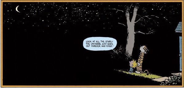
It takes more than one system to tell our contacts where we are in the world! Zip+4, Postal Codes, Area Codes, Country Codes, Unit numbers, Addresses. Then we have to identify our social codes, email addresses, and mobile contacts! Click To TweetIt takes more than one system to tell all our contacts where we are in the world! Now, how do we tell ourselves where we are in the Universe, Galaxy and Solar System? Yes. There’s a numbering scheme for that, too!
So. Here’s an experiment. If you are game, when you read this, go to any mapping system you enjoy using and determine if you can tell your latitude and longitude is, and how far up or down it’s number scale you’ve ever worked, lived or traveled. It’s a fun experiment to to think of your place in the world from a different perspective.
When I think about my place on the map, I realize there’s so much more to see and hope I get the time and money to experience it more.